Affordable drone services for property owners in the Santa Cruz Mountains.
Continuous, affordable aerial property monitoring by an FAA Licensed, Part 107, Drone Pilot who knows the Santa Cruz Mountains because he lives there.
Pay what you can
If you are in trouble because of the recent storms, we still want to help! Mountain Monitoring was set up to help those in our community protect their property. Please reach out to start the conversation.
We provide the following services:
2D Aerial Mapping: A detailed 2D aerial picture of your entire parcel
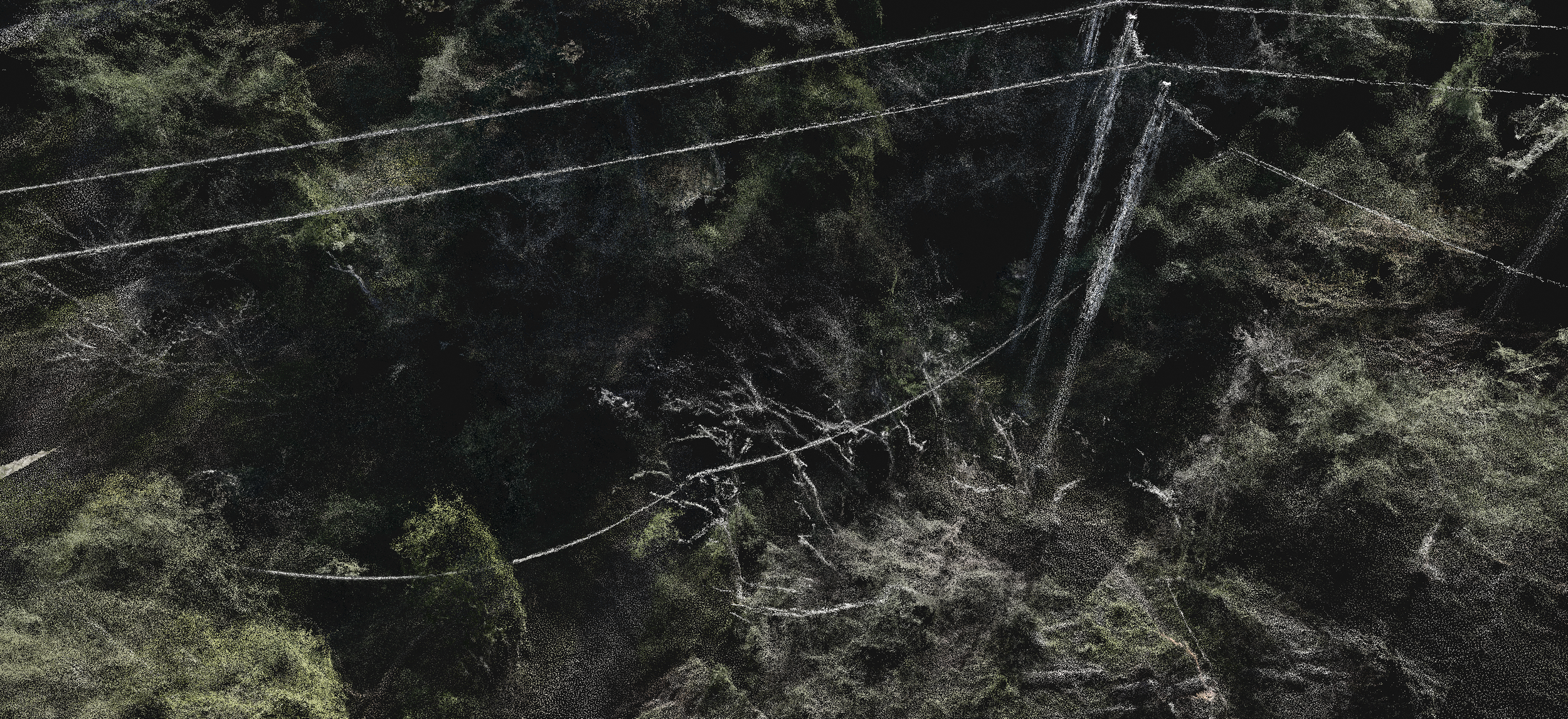
3D Photogrammetry: A 3D model of terrain, improvements, or both that will provide a detailed model of the area examined.
Roof Observation, for when you want to see if something is going on with your roof but do not need a professional roof inspection
Hourly Ad Hoc Flight - You tell us where you want to go, or what you want to see!
If you need other services, please describe them on our inquiry form and we will be happy to work with you to get the job done!


